Magazine
From the Top
by Lara Zielin
When Talbert Abrams received his pilot’s license at age 21, it was signed by none other than one of the famous first-to-flight siblings, Orville Wright.
Abrams, originally from Tekonsha, Michigan, enlisted in the Marine Corps during World War I, and became interested in aerial photography when his squadron took aerial images of suspected enemy activity on the island of Haiti.
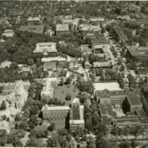
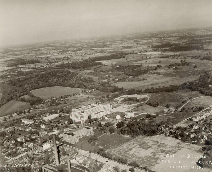
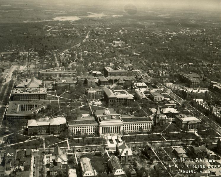
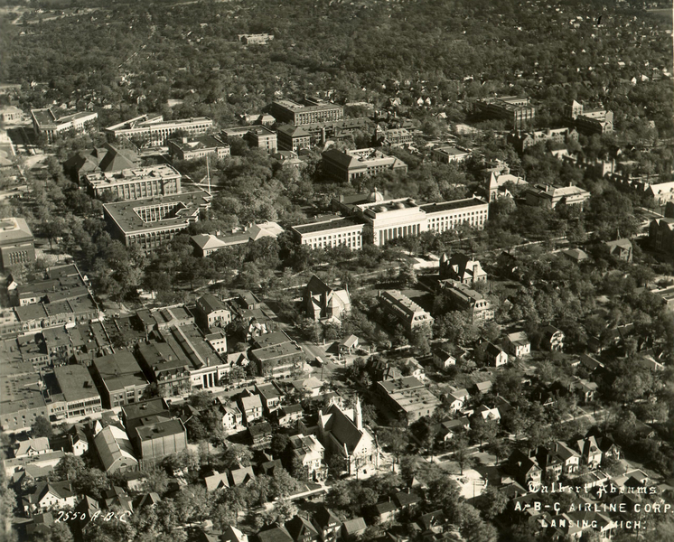
In 1923, Abrams married Leota Pearl Fry, and that same year they founded the Aerial Survey Corporation in Lansing, Michigan. The company conducted aerial mapping all over the world for governments and businesses and—you guessed it—universities.
Several of Abrams’ images of the University of Michigan campus, commissioned for various units during the late 1920s and early 1930s, have been digitized and are available in the Bentley’s online Image Bank.
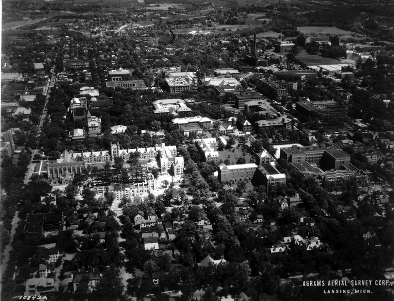
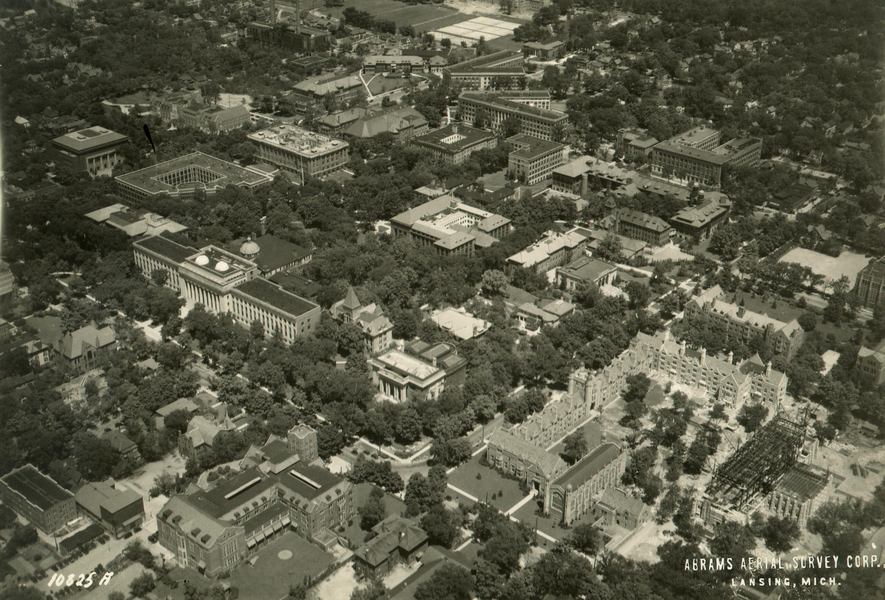
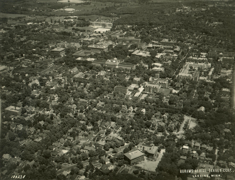
The Bentley also holds numerous photographic negatives from the Aerial Survey Corporation, which include aerial images of Michigan Stadium and several views of campus, all taken on October 5, 1940.
Abrams died on August 26, 1990, but the Aerial Survey Corporation continues to operate today.